logo

제품 세부 정보

Created with Pixso. Created with Pixso. 상품 Created with Pixso.
관성 항법 시스템
Created with Pixso.

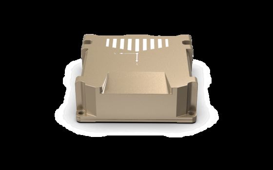
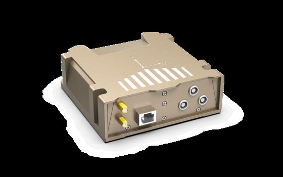
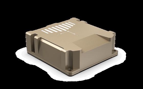
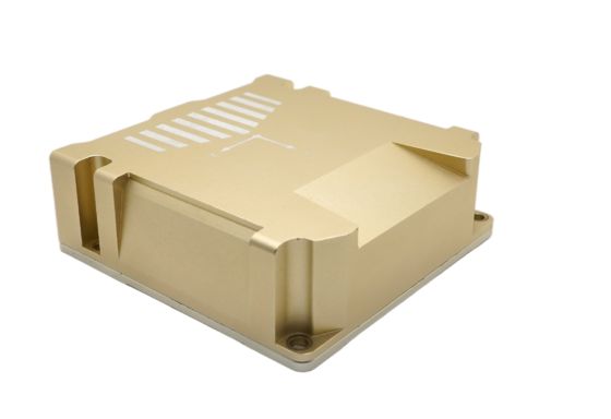
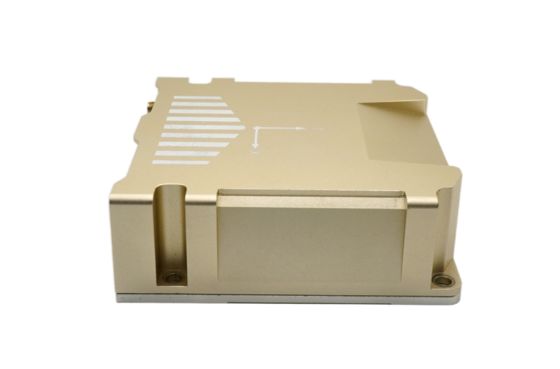
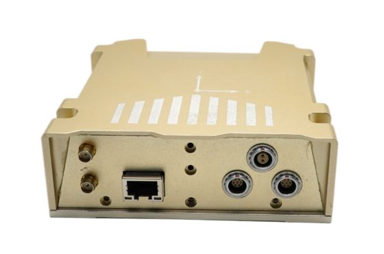
PBOX High-Precision Integrated Navigation System with MEMS-IMU and Heading Fiber-Optic Gyro

PBOX High-Precision Integrated Navigation System with MEMS-IMU and Heading Fiber-Optic Gyro

브랜드 이름: Firepower
모델 번호: PBOX
모크: 1
가격: 1350$
지불 조건: L/C, D/P, T/T, Western Union
공급 능력: 500/월
자세한 정보
원래 장소:
중국
X/y축 자이로 제로 바이어스 안정성:
6.0°/시간
스케일 팩터 비선형 성:
0.02%FS
대역폭:
80Hz
Z축 자이로 범위:
250°/초
제로 바이어스 안정성:
0.5°/시간
각도 임의의 산책:
0.02º/시간
가속도계 바이어스:
0.07mg
스케일 팩터 정확도:
0.3%
포장 세부 사항:
스폰지 + 상자
공급 능력:
500/월
제품 설명
High-Precision Integrated Navigation System with MEMS-IMU Fiber-Optic Gyro
Product Specifications

Parameter

Test conditions

Magnitude

Unit

X/y axis gyro

Dynamic measuring range


250

º/s

Zero bias stability

Allan variance

6.0

º/h

10 s average (-40 ℃ ~ + 80 ℃, constant temperature)

13

º/h

Zero bias

Zero bias range

±0.2

º/s

Zero bias variation over full temperature range1

±0.2

º/s

Scale factor

Scale factor accuracy

0.2

%

Scale factor nonlinearity

0.02

%FS

Bandwidth


80

Hz

Z-axis gyro

Dynamic measuring range


250

º/s

Zero bias stability

10 s average (-40 ℃ ~ + 80 ℃, constant temperature)

0.5

º/h

Angular random walk


0.02

º/h

Accelerometer

Dynamic measuring range


4

g

Zero bias stability

Allan variance

0.07

mg

10 s average (-40 ℃ ~ + 80 ℃, constant temperature)

0.15

mg

Zero bias

Zero bias range

±3.5

mg

Zero bias change in full temperature range, peak-to-peak value1

±3

mg

Scale factor

Scale factor accuracy

0.3

%

Scale factor nonlinearity

0.03

%FS

Bandwidth


80

Hz

Product Overview

PBOX is a high-precision integrated navigation system independently developed by FIREPOWER. It has a built-in 6-axis MEMS-IMU and a built-in fiber-optic gyroscope in the heading axis. It achieves high-precision orientation and navigation in complex environments through multi-sensor fusion. The product has high reliability and strong environmental adaptability. The products can be widely used in intelligent driving, unmanned aerial vehicle, mapping, underwater vehicle, subway and other fields.

Key Features

Main functions of the integrated navigation system are as follows:


1) Integrated navigation and pure inertial navigation can be realized by using inertial device output and GNSS data.

2) In the effective GNSS environment, the static initial alignment can be realized, and the azimuth alignment accuracy is related to the baseline length of the dual-antenna.

3) It supports data binding and alignment and pure inertial calculation in the environment without GNSS.

4) The program and configuration parameters can be upgraded online through USB, network port and serial port.

5) Support network port data output.

6) Support can port wheel speedometer access.


Applications
  • UAVs (Unmanned Aerial Vehicles)
  • Guided missiles
  • Marine systems
  • Robotic systems
  • Various dynamic platforms