logo
Shenzhen Fire Power Control Technology Co., LTD
english
français
Deutsch
Italiano
Русский
Español
português
Nederlandse
ελληνικά
日本語
한국
العربية
हिन्दी
Türkçe
bahasa indonesia
tiếng Việt
ไทย
বাংলা
فارسی
polski

제품 세부 정보

Created with Pixso. Created with Pixso. 상품 Created with Pixso.
관성 항법 시스템
Created with Pixso.

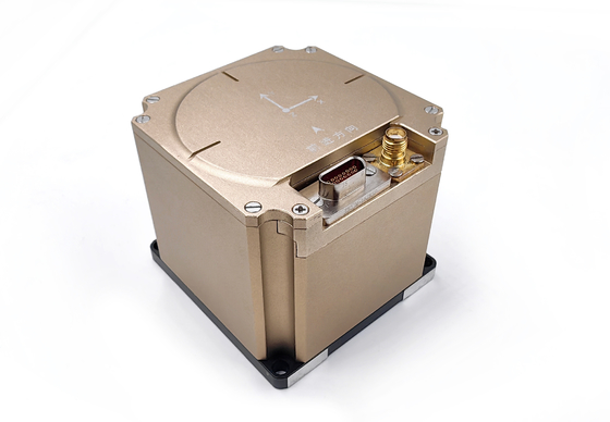
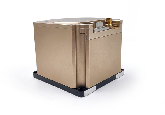
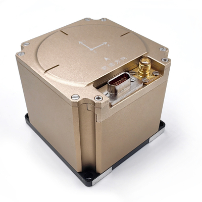
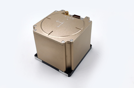
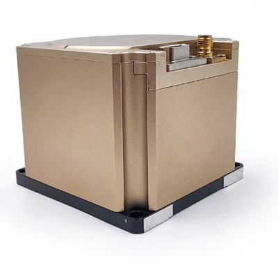
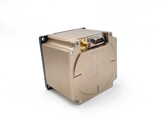
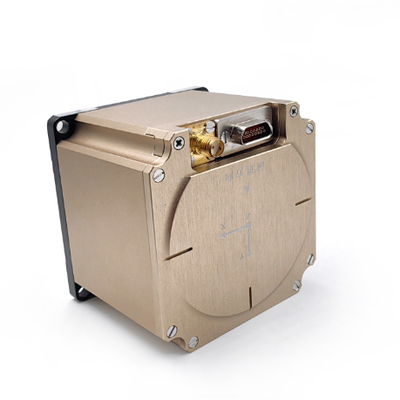
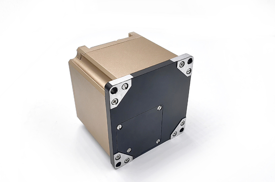
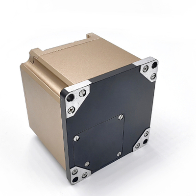
GNSS Fiber Optic Gyroscope , Inertial Navigation System RTK for Marine Navigation

GNSS Fiber Optic Gyroscope , Inertial Navigation System RTK for Marine Navigation

브랜드 이름: FIREPOWER
모델 번호: INS150A
모크: 1
가격: 5000$
지불 조건: L/C,D/P,T/T,Western 통합
공급 능력: 견본을 위한 1주
자세한 정보
원래 장소:
중국
인증:
CE
방향 정확도:
0.25 °
지로 범위:
±500' /s
실온에서의 제로 바이어스 안정성 (1 Sigma 10S Smooth):
≤0.11 °/h
방온 (1 시그마) 에서 제로 편견 반복성:
≤ 0.05 °/h
Acc 범위:
±20g
실온에서 ACC 제로 바이어스 안정성 (1 Sigma 10S 스무딩):
00.02mg
10초 후 바이어스 안정성:
≤ 200ug
무게:
≤ 800 g
포장 세부 사항:
스폰지 + 상자
공급 능력:
견본을 위한 1주
강조하다:

Marine Navigation Inertial Navigation System

,

RTK Inertial Navigation System

,

GNSS Fiber Optic Gyroscope

제품 설명

 High Performance Mems lnertial Measurement Unit with Built-in 3 Axis Accelerometer and Gyroscope

  • Product DescriptionGNSS Fiber Optic Gyroscope , Inertial Navigation System RTK for Marine Navigation 0

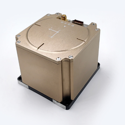
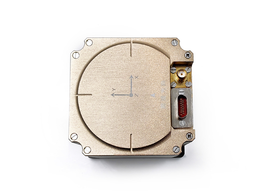
The inertial navigation system is installed on a certain type of carrier, which is mainly used to provide angular rate and linear rate information for the carrier. At the same time, it provides navigation information such as angle, speed and position.


  •   System function

a) It can output the angular velocity and linear velocity information of high-speed carrier motion.

b) An initial alignment may be made.

c) It can be used for inertial navigation and integrated navigation.

d) Self-test and debugging function: It has perfect online self-test function to locate the fault to the module and give alarm signals. It has test and maintenance interfaces for software upgrade and output of equipment parameters, and the product has the ability of online upgrade of serial port.

  • Product Parameter

1.1  Accuracy requirements for angular rate measurement


a) Angular rate measurement range: ± 500 °/s;

b) Zero bias stability at room temperature (1 Sigma 10s smooth): ≤ 0.11 °/h;

c) Zero bias stability at high and low temperature constant temperature (1 Sigma 10s smooth): ≤ 0.13 °/h;

d) Zero-bias repeatability at room-temperature (1 Sigma): ≤ 0.05 °/h;

e) Scale factor non-linearity at room temperature: ≤ 20ppm;

f) Scale factor repeatability at room-temperature: ≤ 20ppm;

g) Gyro bandwidth: 200Hz (guaranteed by design).

h) Startup time of gyro precision guarantee: 10s.


1.2  Accuracy requirements for linear velocity measurement


a) Acceleration measurement range: ± 20 g (model selection guarantee) (optional 50g product, slightly lower accuracy);

b) Zero bias stability at room temperature (1 Sigma 10s smoothing): ≤ 200ug;

c) Zero-bias repeatability at room-temperature(1 Sigma): ≤ 200ug;

d) Startup time: 10s.


1.3  Initial alignment accuracy requirement


a) Initial alignment mode: it can be used for initial alignment of rocking base, mooring system, satellite-assisted travel, and initial alignment of odometer (or DVL) assisted travel.

b) Initial self-alignment heading accuracy of swaying base: 0.25 ° * SecL (L is the local latitude);

c) Initial self-alignment pitch accuracy of swaying base: 0.02 °;

d) Initial self-alignment rolling accuracy of shaking base: 0.02 °;

e) Initial self-alignment time of swaying base: 5min (adaptive modification is allowed, and the recommended initial alignment time of mooring system is 10min);

Note: The above alignment accuracy is the result of the corresponding alignment time.


1.4  Satellite failure pure inertial navigation index requirement


a)  Inertial navigation heading angle hold (drift) accuracy: 0.12 °/h (peak).

b)  Pitch angle hold (drift) accuracy of inertial navigation: 0.1 °/h (peak).

c)  Inertial guide roll angle hold (drift) accuracy: 0.1 °/h (peak).

d)  Measurement range of heading angle: 0 ° ~ 360 °

e)  Measurement range of pitch angle: -90 ° ~ + 90 °

f)  Rolling angle measurement range: -180 ° ~ + 180 °

g)  Positioning accuracy of inertial/odometer integrated navigation: 0.6% D (D is the driving distance).

h)  Pure inertial horizontal positioning accuracy (surface ship mode): 2500 m (peak-to-peak value, 1 H assessment)

i)  Pure inertial horizontal positioning accuracy (ground vehicle-mounted mode): 500m (peak-to-peak value, 1H assessment)

j)  Pure inertial horizontal positioning accuracy (in-flight vehicle-mounted mode): 500m (50% CEP, 10-minute assessment)


1.5  Requirements for effective integrated navigation of satellite


a) Satellite integrated navigation heading angle measurement accuracy (fully maneuverable): 0.08 ° (1σ);

b) Satellite integrated navigation pitch angle measurement accuracy (fully maneuverable): 0.05 ° (1σ);

c) Satellite integrated navigation roll angle measurement accuracy (fully maneuverable): 0.05 ° (1σ);

d) Satellite integrated navigation horizontal positioning accuracy (satellite single-point positioning, open environment): 1.5m (1σ)

e) Satellite integrated navigation elevation positioning accuracy (satellite single point positioning, open environment): 2.0m (1σ) supports receiving RTCM3.X data, so that the satellite works in RTK state.

f) Support access to dual-antenna directional.

g) Support access to DVL for INS/DVL integrated navigation.

h) Support access to odometer for INS/OD integrated navigation.


1.6  Power supply requirements


It is recommended to provide an external DC 28 V power supply with a voltage range of 9 V to 36 V. The steady state power consumption is not more than 9 W.


1.7  Environmental adaptability


a) Working temperature adaptability: -40 ℃ ~ + 60 ℃;

b) Storage temperature adaptability: -45 ℃ ~ + 65 ℃;


  • Outline Drawing

GNSS Fiber Optic Gyroscope , Inertial Navigation System RTK for Marine Navigation 1